
05 - THE WATERMARK PATH TO FARENA
The Brugent Valley lies in the heart of the Muntanyes de Prades, a geographical area of some 260 km2 of great ecological value. The main ranges that surround and protect the interior of the Brugent Valley are the Serra del Bosc de Poblet to the north and the Motllats plateau to the south, both rising above 1,000 m. The Motllats are where the River Brugent rises, the main force that has shaped the Valley over thousands of years. The river played an important role in driving the turbines of more than twenty mills, some for flour but mostly for paper. They produced paper of the very highest quality that went on to "make a fortune in the Americas" and has survived to this day in the paper mills of La Riba.
- Distància
- 4 km
- Desnivell
- +130 m
- Durada
- 1 h 20 min (walking time)
- Dificultat
- beginner level - green
- Senyalització
- signposting by the former Fundació Territori i Paisatge, and Alt Camp signposting
Description
This hike takes you down to the River Brugent itself, descending the impressive cobbled mill path and returning along the old road to Farena. When you reach the river, you will discover the old buildings that harnessed its power, passing several paper mills and a flour mill. The watermark was precisely the mark that distinguished the papers printed by each paper company.
However, don't be fooled by this apparently docile river: in times of heavy rain it makes its roar heard and can sweep away everything in its path. Along the hike you will still find traces of the great flood of 1994. Rule this hike out if that is the case.
Technical information
Distance: 4 km
Elevation gain: +130 m
Duration (approx.): 1 h 20 min (walking time)
Difficulty level (colour): beginner level - green
Signposting: signposting by the former Fundació Territori i Paisatge, and Alt Camp signposting
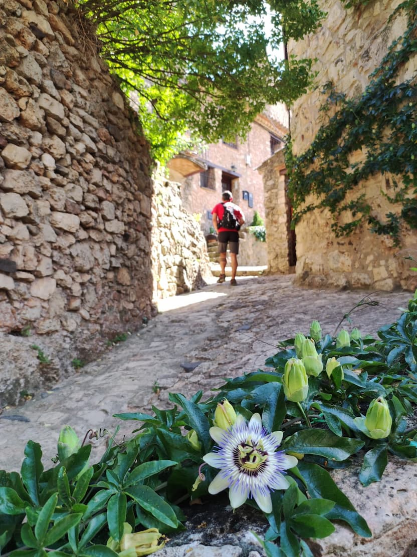
Farena is a small treasure in the heart of the Muntanyes de Prades, one of the roofs of the Costa Daurada. All the houses have been restored, keeping the rural style of the medieval period. At the Romanesque church of Sant Andreu, from the 12th century, we recommend climbing the bell tower for an impressive panorama of the area. Of the wall and the castles hardly any traces remain, but what is left can be admired in the stables of Can Vilalta, a large building that is part of the Catalan Inventory of Architectural Heritage.
Without leaving the municipality of Farena, a good option is to walk down to the Toll de l'Olla, a pool of crystal-clear water in the middle of the forest, right beside a waterfall about 15 metres high.
.It is a lung of biodiversity and landscape richness in the Mediterranean mountains. Here you can find Bonelli's eagles, rivers, cliffs, forests and farmland forming a patchwork of well-preserved habitats.
Following the course of the River Brugent you can find several water mills, either for flour or for paper. The flour mills run from just below Capafonts to Rojals, while the paper mills are located past Farena, such as the Molí del Fort (Mont-ral) or the Molí de Pasqual, near La Riba.